

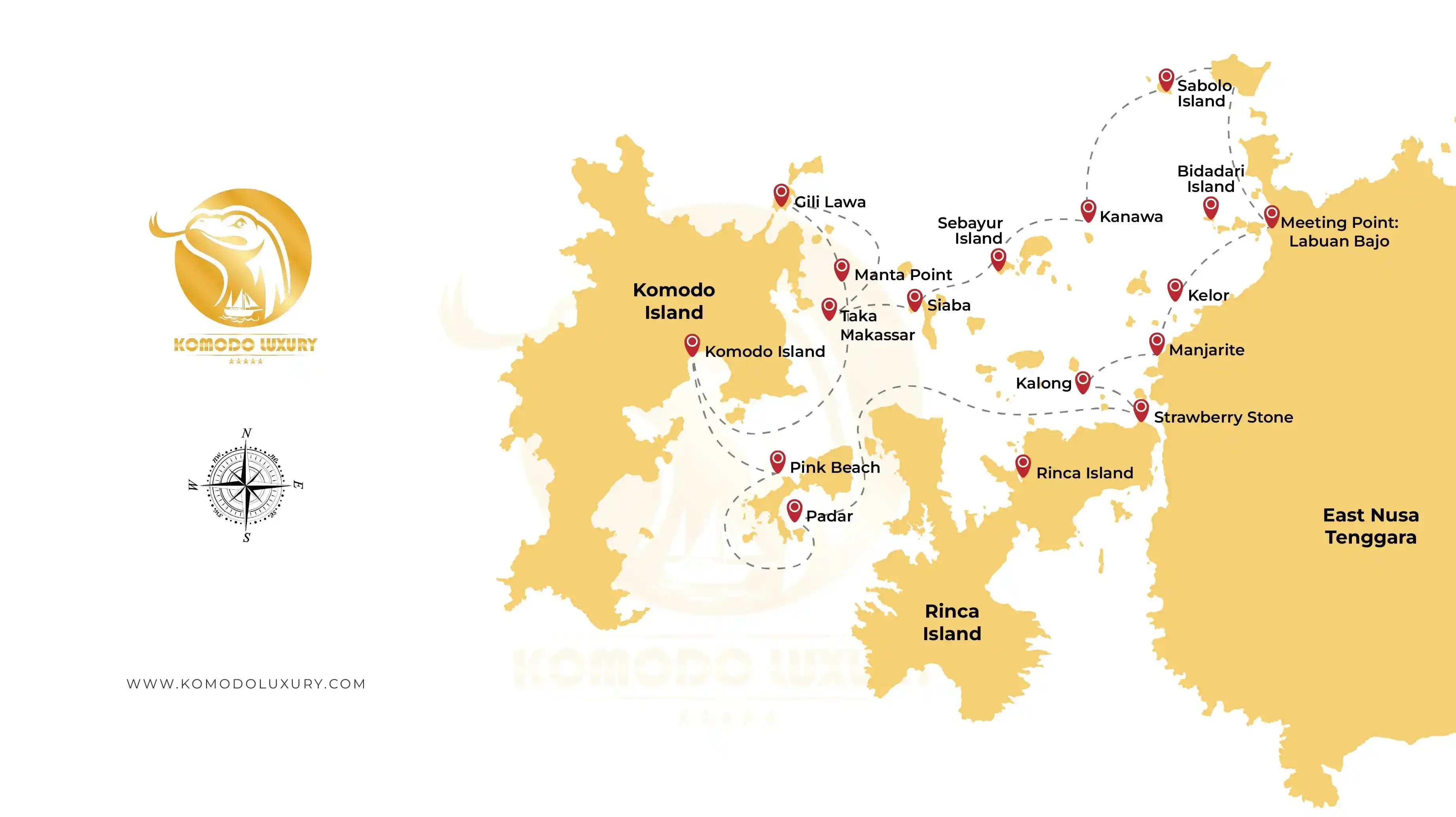
Rinca Island with the Loh Buaya ranger station, and the mangrove bat roost of Kalong Island just off it.
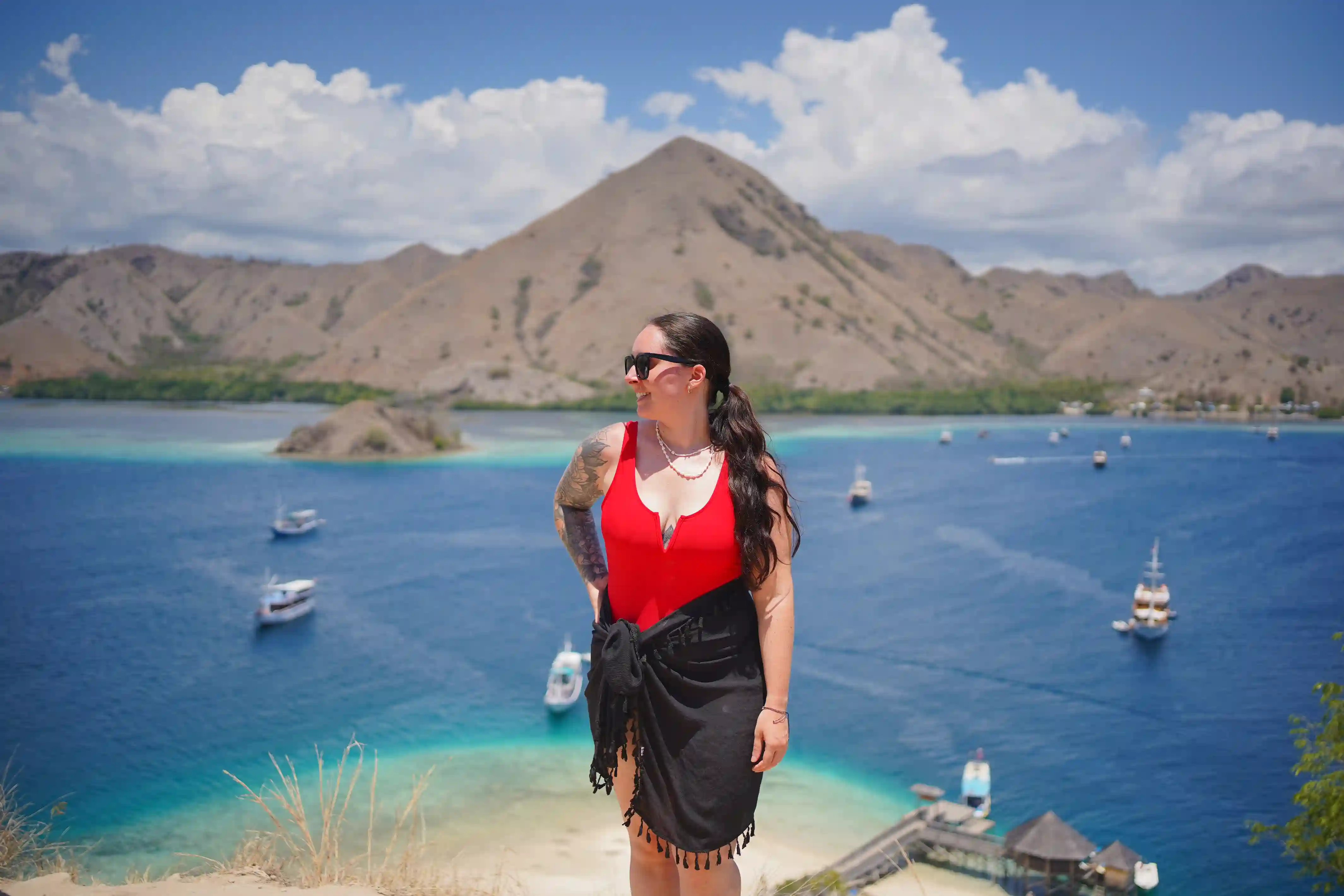
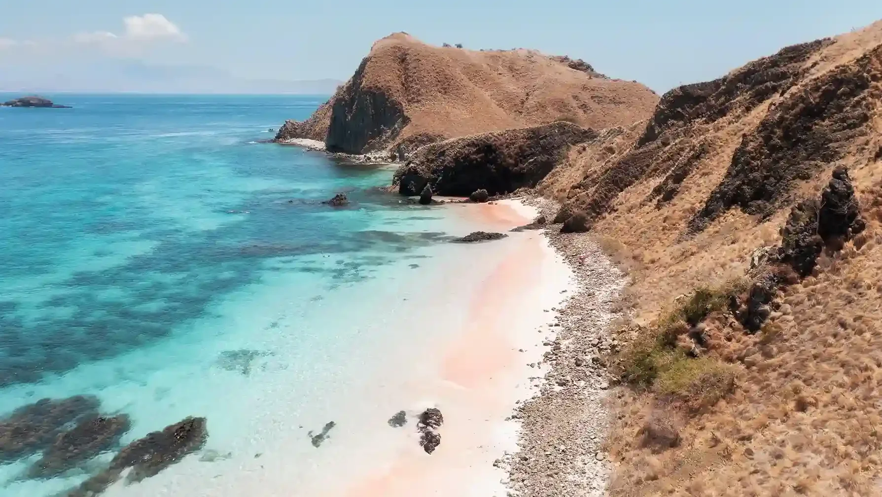
Padar and its viewpoint, then Pink Beach on Komodo's east coast, with Taka Makassar sandbar, Manta Point (Karang Makassar), Siaba, Manjarite and the pinnacle of Batu Bolong packed into the strait between Komodo and Rinca.
the park's largest island, with the Loh Liang ranger station for dragon treks and the village of Komodo on its east coast.
| From Labuan Bajo to | Distance | Speedboat | Phinisi |
|---|---|---|---|
| Kelor Island | ±10 km | 25-30 min | 1-1.5 hr |
| Kanawa Island | ±15 km | 30-45 min | ±1.5 hr |
| Sebayur Island | ±17 km | ±45 min | 1.5-2 hr |
| Kalong Island | ±20 km | 45-60 min | ±2 hr |
| Rinca Island (Loh Buaya) | ±22 km | 45-60 min | ±2 hr |
| Padar Island | ±30 km | 1-1.5 hr | ±3 hr |
| Siaba Island | ±33 km | ±1.5 hr | 3-3.5 hr |
| Pink Beach (Komodo) | ±35 km | ±1.5 hr | ±3.5 hr |
| Manta Point (Karang Makassar) | ±35 km | ±1.5 hr | ±3.5 hr |
| Taka Makassar | ±36 km | 1.5-2 hr | 3.5-4 hr |
| Batu Bolong | ±37 km | 1.5-2 hr | ±4 hr |
| Komodo Island (Loh Liang) | ±40 km | ±2 hr | 4-4.5 hr |
| Leg | Speedboat time |
|---|---|
| Padar → Pink Beach | 30-40 min |
| Pink Beach → Loh Liang (Komodo) | 20-30 min |
| Taka Makassar → Manta Point | 10-15 min |
| Manta Point → Siaba | ±20 min |
| Kelor → Rinca (Loh Buaya) | 30-40 min |
| Rinca → Kalong (sunset leg) | ±20 min |
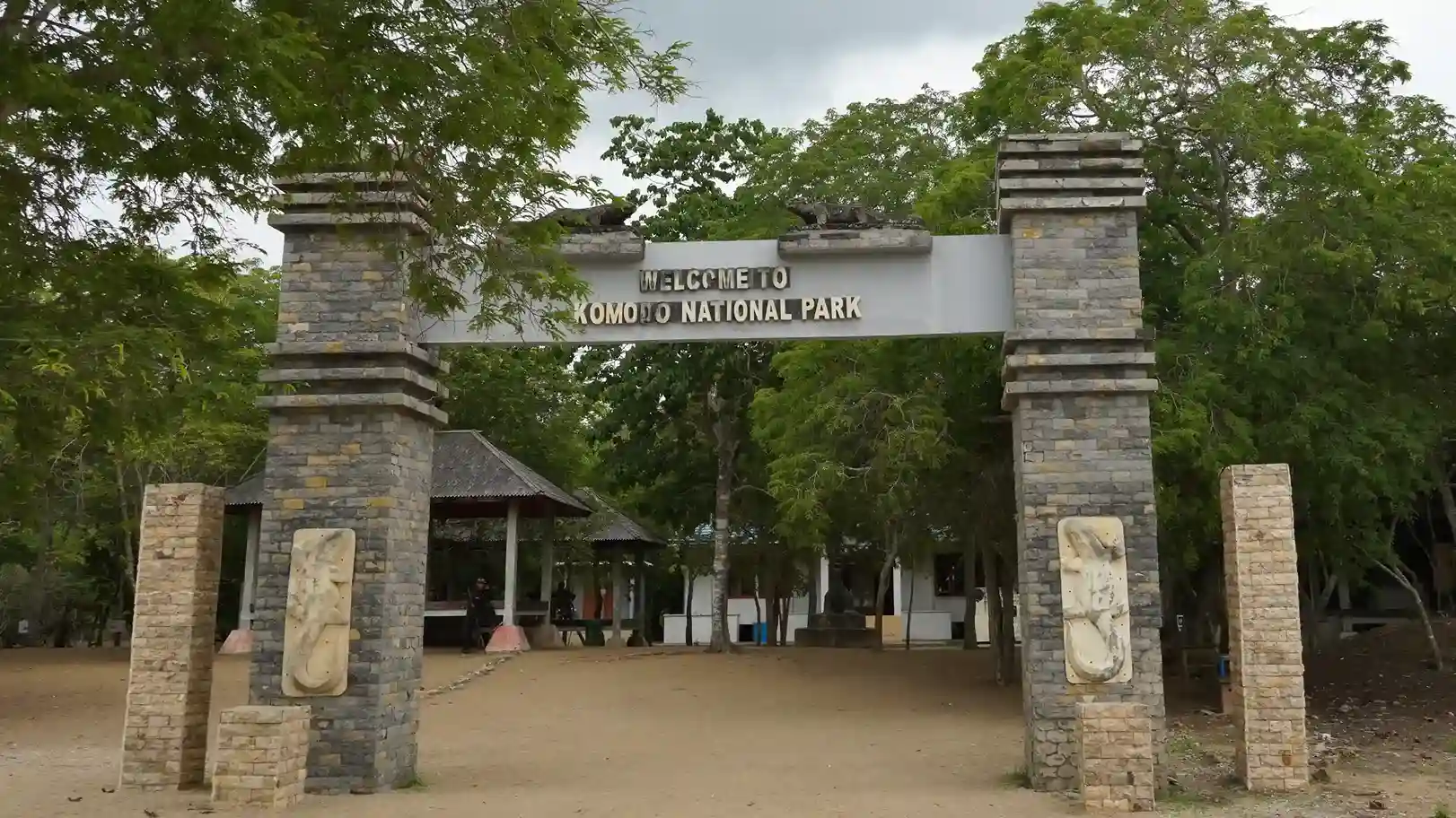
The park authority divides Komodo's waters and islands into zones, and your captain routes around them: core and wilderness zones (fully protected, no visitor landing), tourism-use zones (the landings and dive sites on this page), traditional-use and settlement zones (local fishing grounds and the villages inside the park), plus pelagic and research zones. Entry is charged by the park under PP 36/2024 (IDR 250,000 per international visitor per day, as displayed by the Balai) and confirmed by our desk as its own line on your invoice; current rates and the changelog are on our entrance fees page.
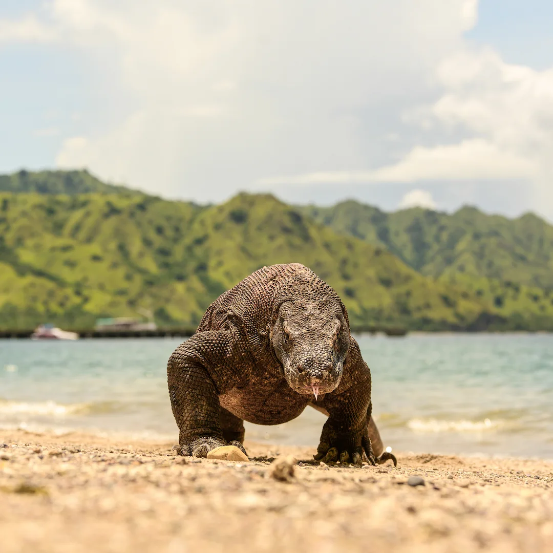
Wild Komodo dragons live on five areas of the map: Komodo Island, Rinca, the small islands of Gili Motang and Nusa Kode, and parts of western Flores outside the park. Padar has no resident population, and the beach-and-reef islands (Kelor, Kanawa, Sebayur, Siaba, Taka Makassar) are dragon-free visitor sites. Treks to see them run from two ranger stations only: Loh Liang on Komodo and Loh Buaya on Rinca. For the species itself - size, venom, behavior - see the Komodo dragon encyclopedia.

Labuan Bajo (airport code LBJ) is the sole gateway: about 1 hour 10 minutes by air from Bali, with the harbor ten minutes from the terminal. There is no airstrip inside the park and no ferry-hopping shortcut worth planning around - every spot above is reached by boat from Labuan Bajo, which is why the distance tables, not the flight, shape your itinerary.

Komodo Luxury (operating since 2015) runs daily departures from Labuan Bajo with its own fleet, led by Komodo Signature and Komodo Prestige, and more than 200 vetted partner yachts, rated 4.9/5 by over 1,500 guests. Itineraries are private-guide led and priced in USD. Reach the team on WhatsApp at +62 811-3823-875 or at [email protected].
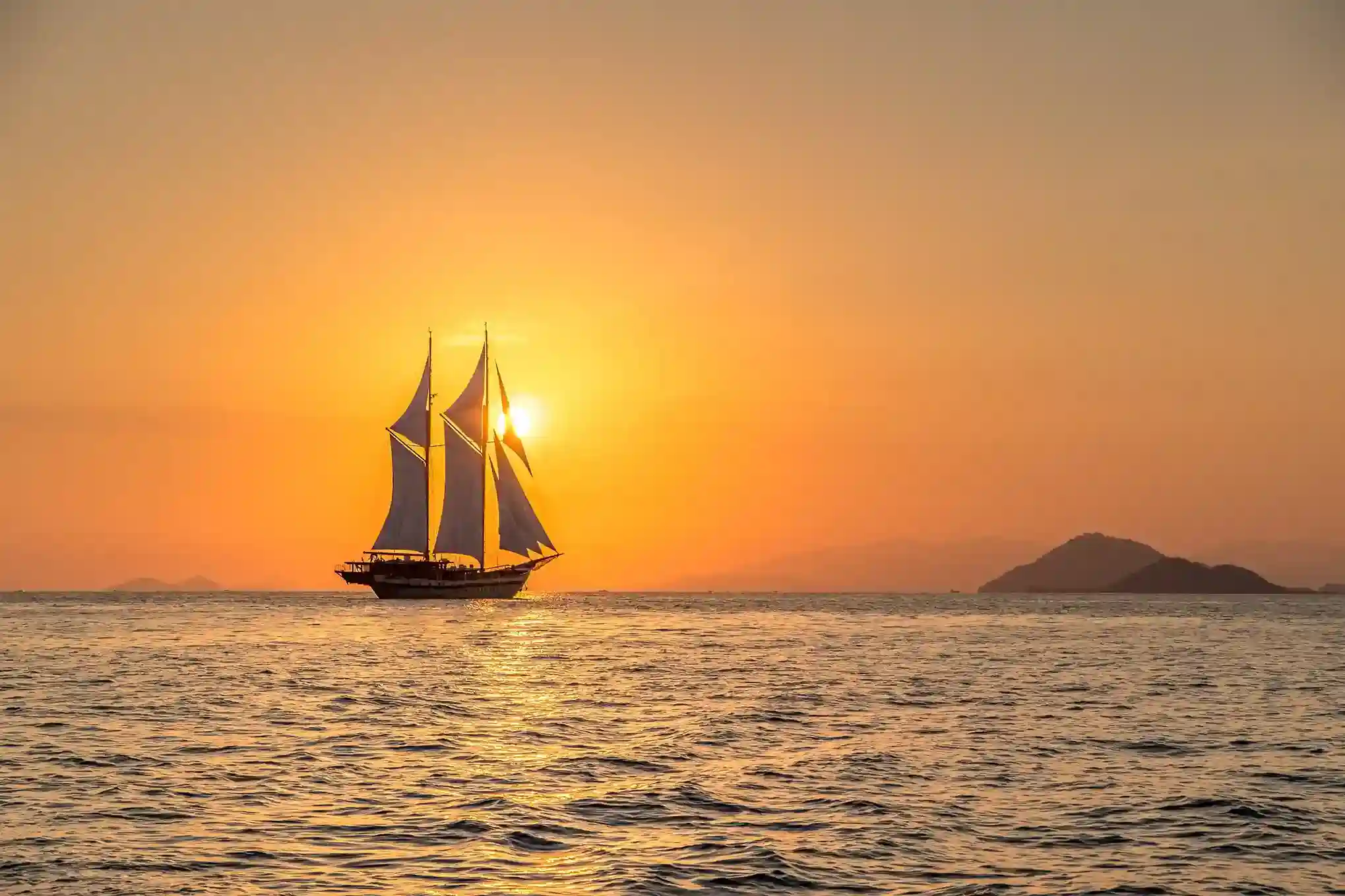
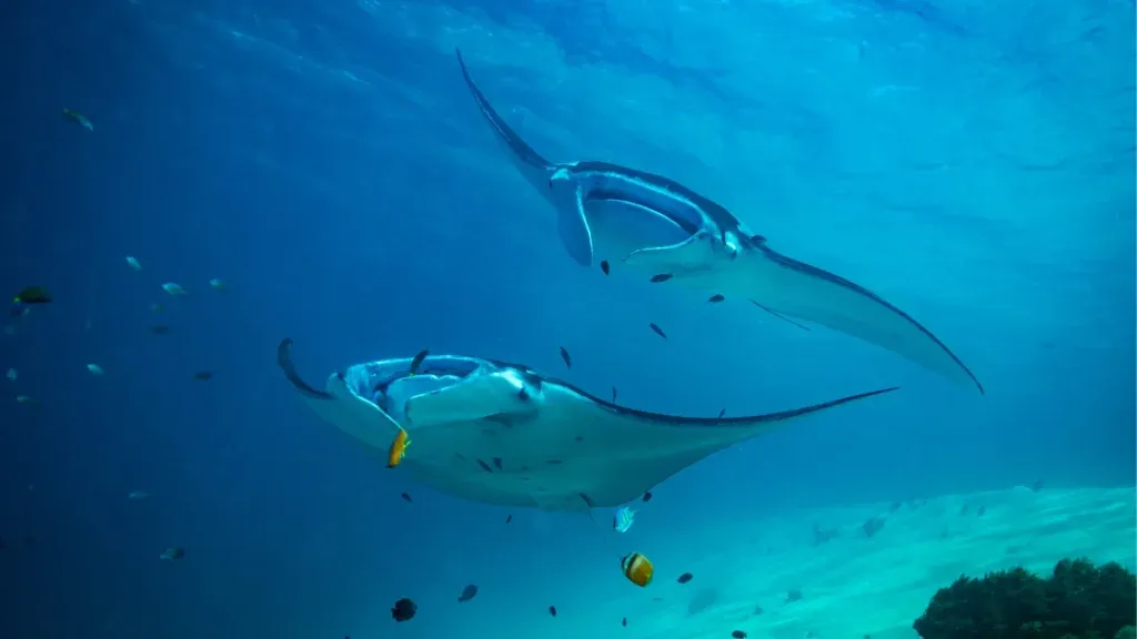
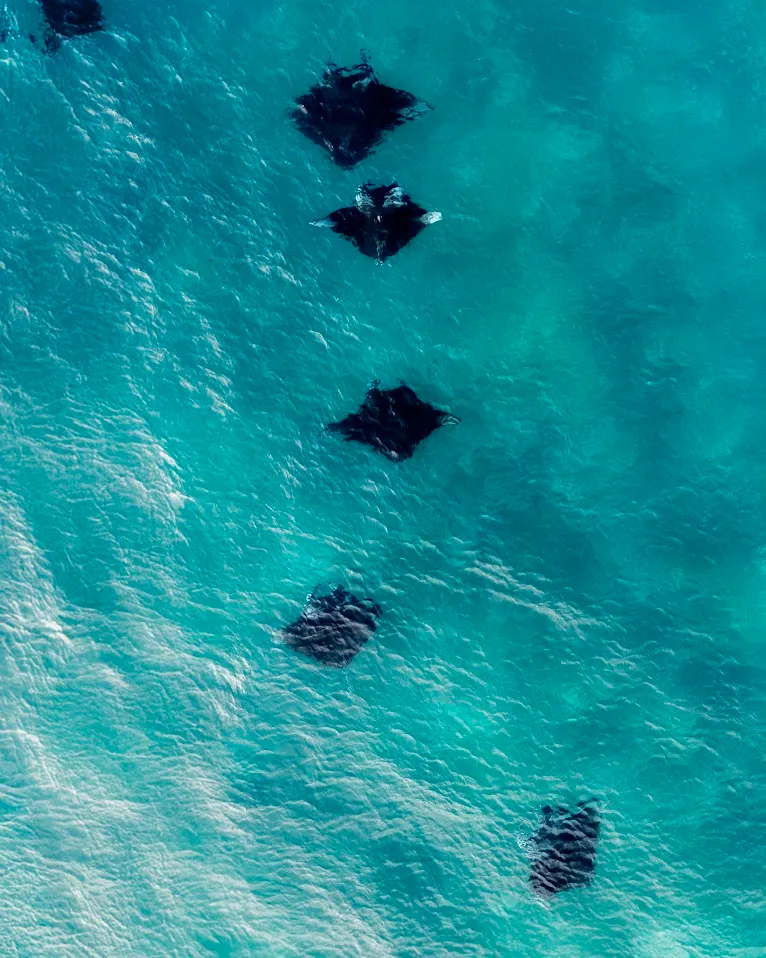
The distances above are constant; the comfort of covering them is not. In the dry season (April-November) the southeast trades blow steadily, the central channel stays workable and the classic loops run daily. In the northwest-wind months (roughly January-February) crews re-order the same map - sheltering behind Rinca's east coast, favoring lee-side landings like Siaba and the gateway islands, and running the exposed Padar-Pink Beach leg in the morning calm. The park never closes; the route order just rotates around the wind, which is exactly the judgment call you hire a local captain for. Divers read the map by season too: the central channel fires year-round, while the plankton-rich months around December-March bring the manta aggregations to Karang Makassar at their densest.
The park is a lived-in landscape, not an empty one: Komodo village sits on Komodo Island's east coast, Papagarang and Rinca villages on their own islands, all inside traditional-settlement zones that predate the park. Their fishing platforms and colorful boats are part of the seascape you cruise through, and several of our routes pass close enough for guests to understand the park as these communities' home waters - another reason routes follow the zoning map rather than straight lines.
IMMERSIVE EXPERIENCES
Destination Highlights
Dive pristine reefs, trek remote islands, and encounter wildlife during our luxury sailing tours.
Immersive Experiences
Activity
Dive pristine reefs, trek remote islands, and encounter wildlife during our luxury sailing tours.
Signature Voyages
Curated Luxury Tours
Signature luxury tour itineraries crafted to reveal Indonesia's most exclusive destinations and experiences